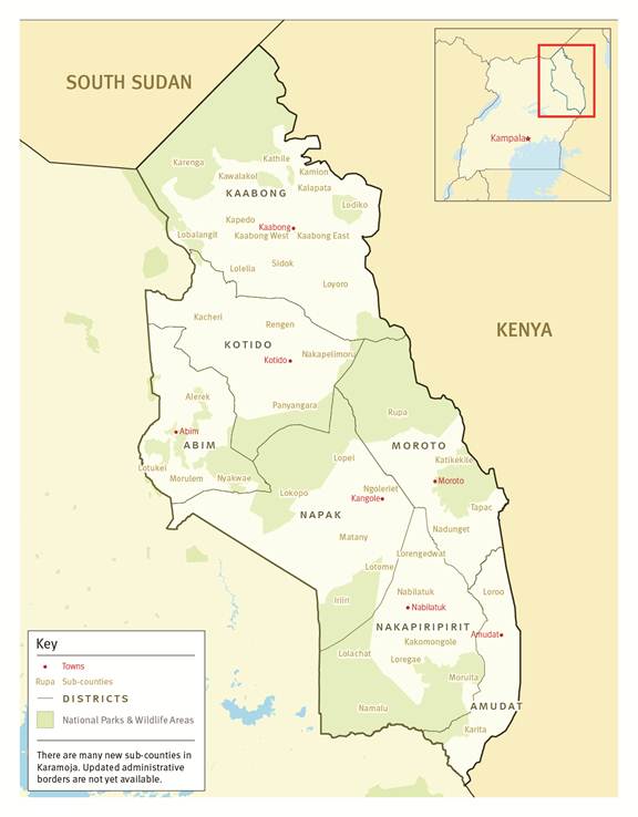
Cabinet has approved the proposal to borrow Euro 20,622,435 from the Corporate Internationalization Fund of Spain, for the implementation of Airborne Geophysical Survey and Geological mapping of Karamoja.
Speaking at media centre, government spokesperson Ofwono Opondo, said the project is expected to benefit the country by enabling Government complete the airborne geophysical map and establish the mineral resources of the country especially in Karamoja region.
Ofwono, said the project is under Department of Geological Survey and Mines (DGSM) that is tasked with the collection, analysis and dissemination of geoscientific data and, as such, is playing a critical role in the SMMRP.
“The geophysical data themselves are extremely useful in characterization of ore environments and exploration targets, and are in high demand by the exploration community to assess the mineral potential of a country or area and, ultimately, to attract mineral investment,” said Opondo.
He said government agencies such as universities will benefit from access to minerals data to facilitate research, improved technologies of artisanal and small scale miners and is expected to improve livelihoods for mining communities as a result of better returns from mining activities.
Airborne geophysical coverage for Uganda was first conducted in 1959 and the magnetic data from these surveys were recompiled as part of the African Magnetic Mapping Project and the data was released in1992.
However, in 2004, the Ministry of Energy and Mineral Development embarked on the five-year Sustainable Management of Mineral Resources Project (SMMRP) conversely, the new airborne geophysical programme commenced with data acquisition in December 2006.


